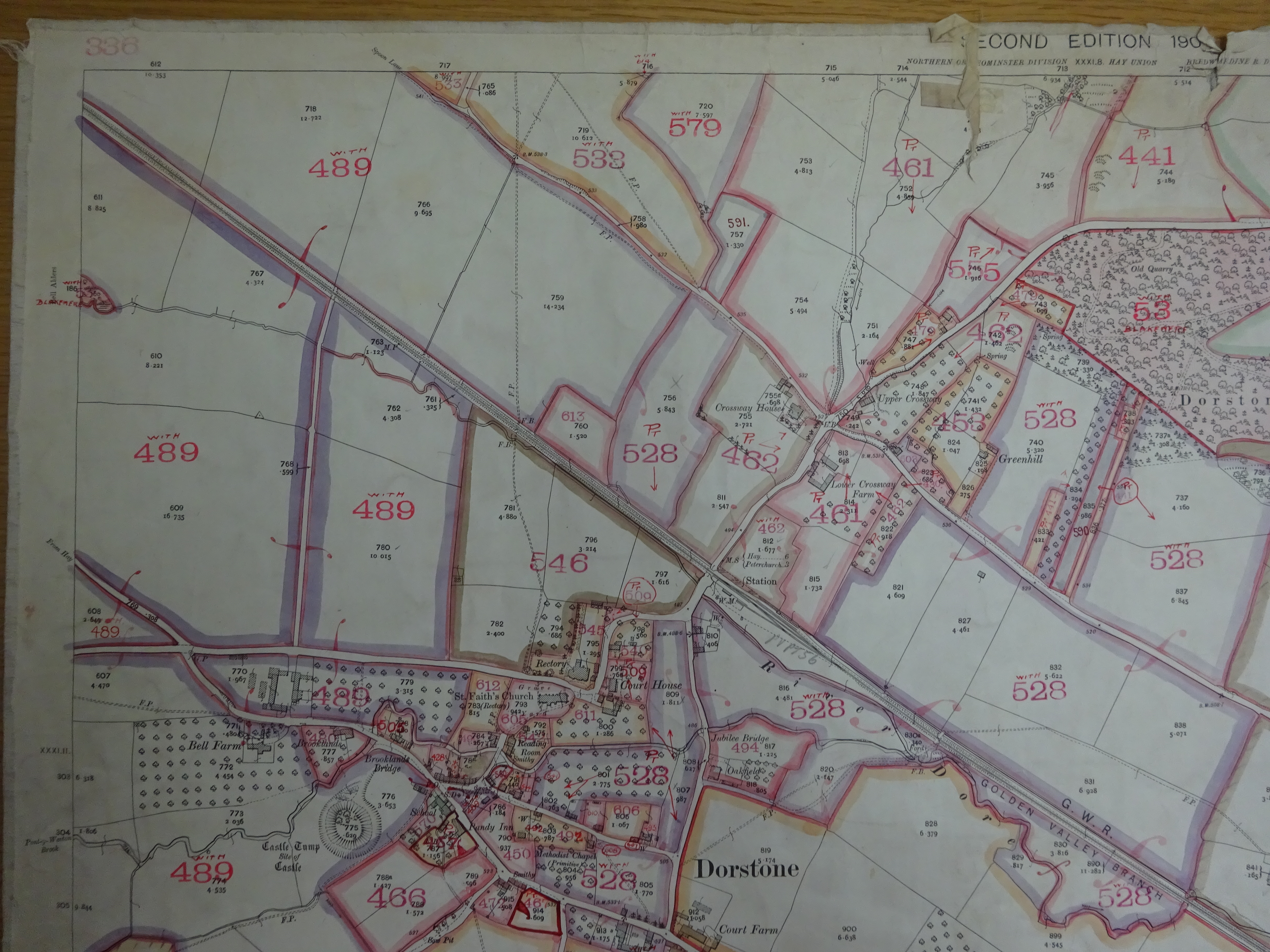
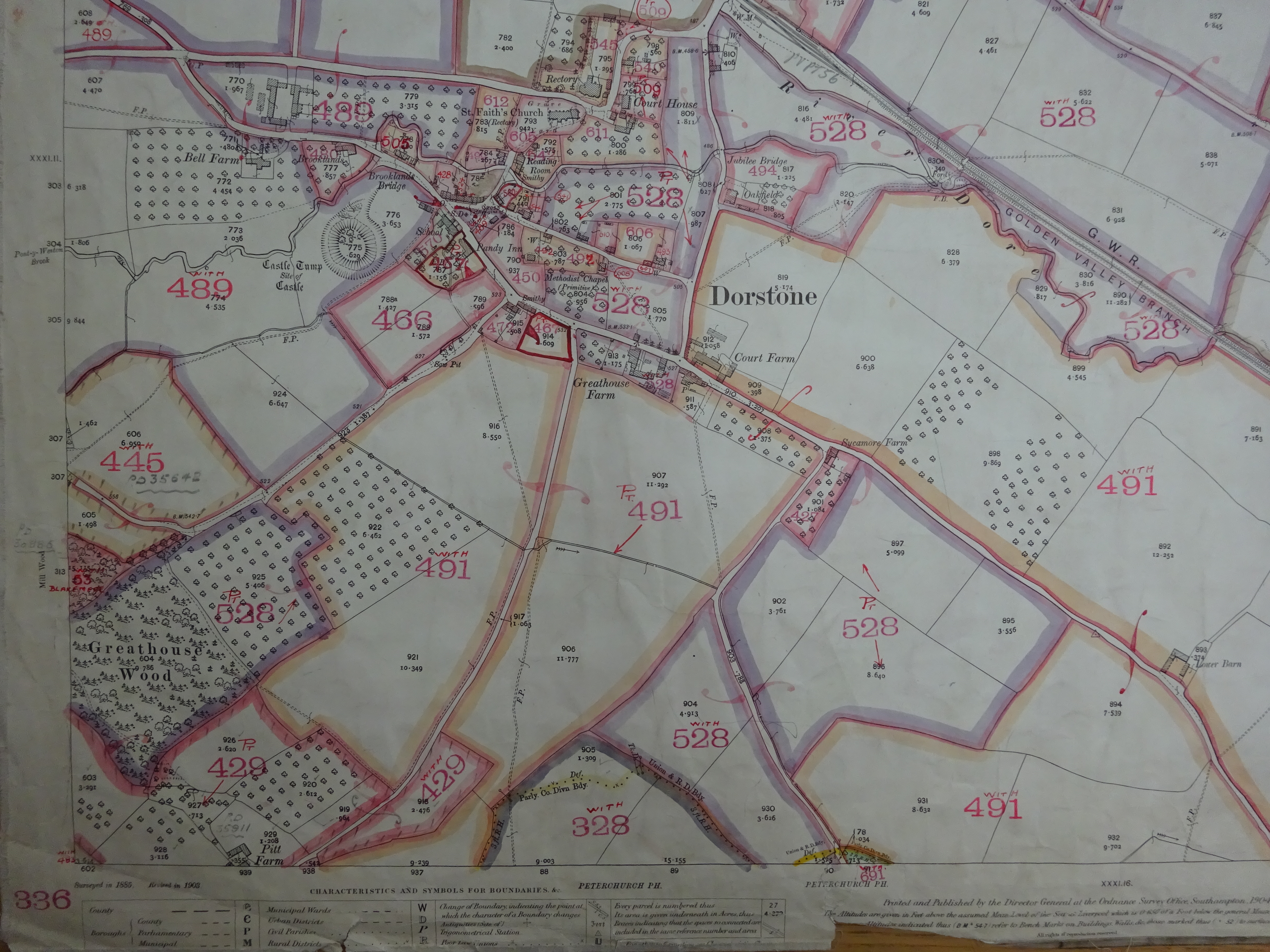
Each property and related right under and over land (hereditament) in England and Wales was surveyed and valued, so Increment Value Duty based on land value could be levied when any property was sold.
These documents are searchable on all the headings
The plans are printed Ordnance Survey map sheets, annotated by the Valuation Office surveyors, and act as an index to the field books. The surveyors marked the plans with plot numbers, referred to as assessment numbers.